Próximos Cursos
Drone Inspection Workshops
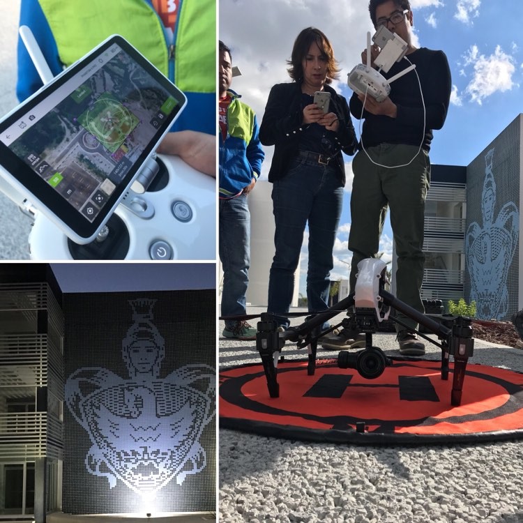
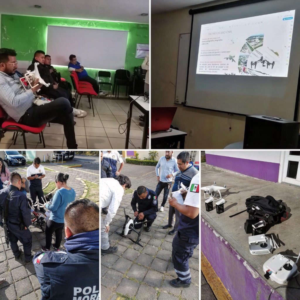
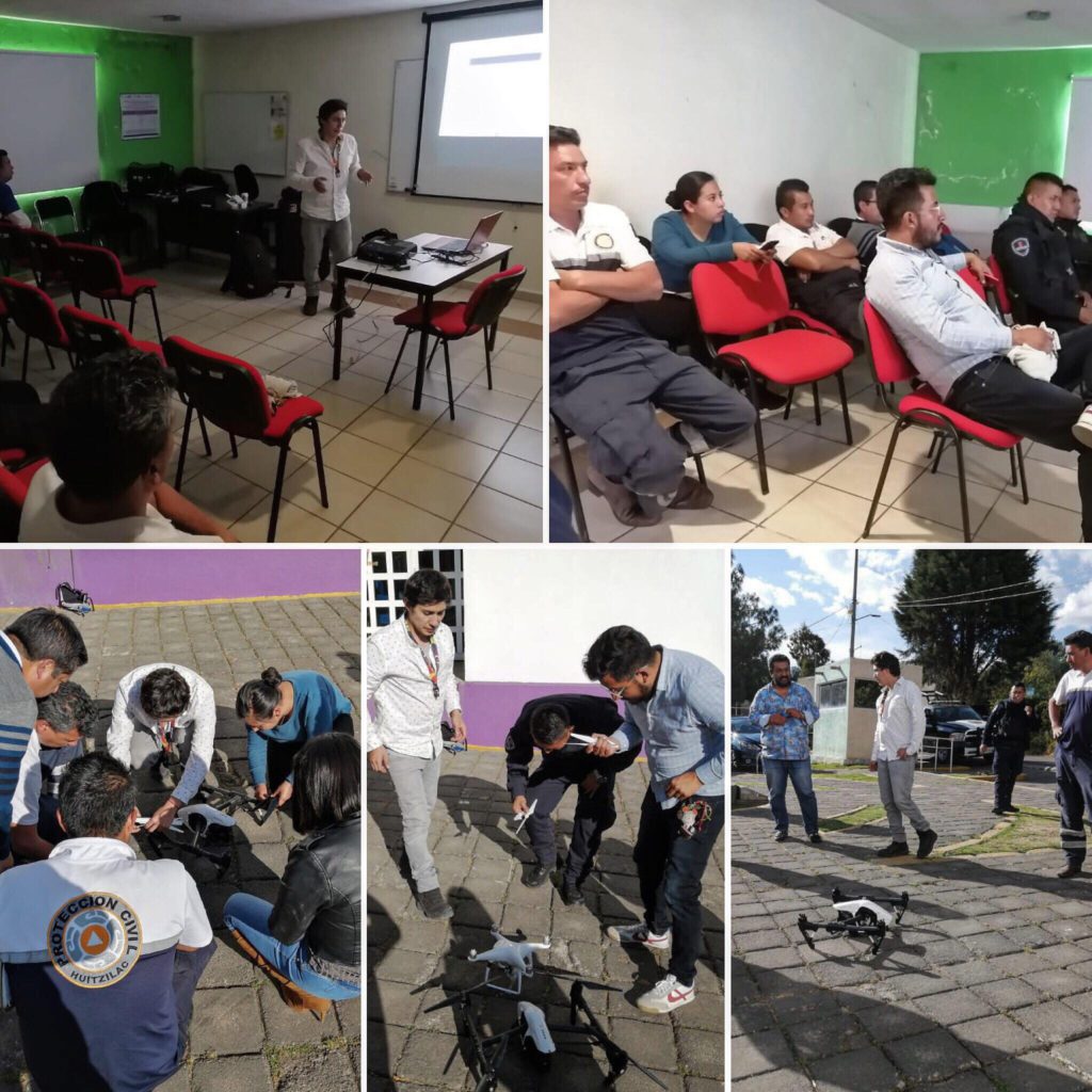
Drones have proven themselves to be a valuable tool for inspections across dozens of industries and use cases. Drones provide a safe and effective method to gather high-definition imagery of roofs, structures, infrastructure, and other areas where damage can occur. Beyond visual imaging, thermal technology can also be utilized to identify water damage, faulty electrical components, and insulation degradation. Our Workshops will teach how to safely and effectively maneuver their aircraft in order to gather and analyze the data necessary for a successful inspection.
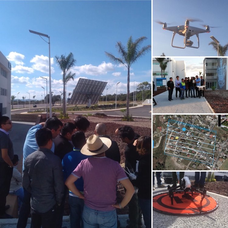
Aerial Mapping and Modeling Workshops
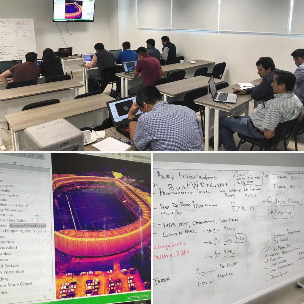
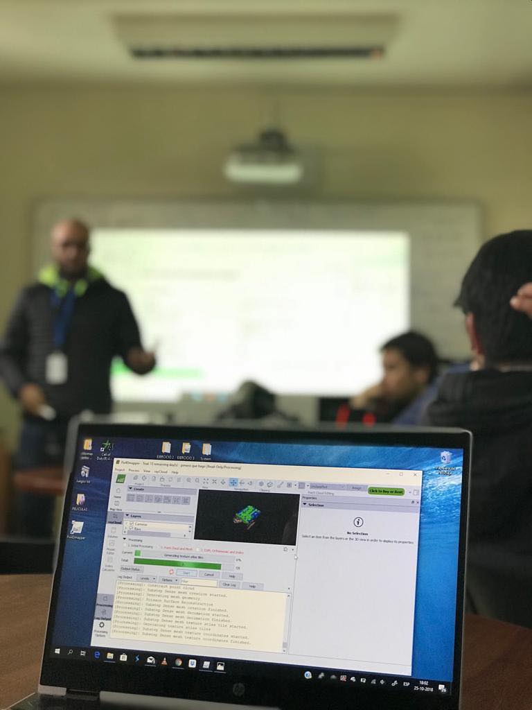
Construction, engineering and agriculture are just a few of the industries that have begun to use drones to collect mapping and modeling data. High-quality maps can be produced more quickly and cheaply than with traditional methods, and the demand for drone mapping services is growing rapidly. Our workshops are designed to teach how to use the latest drone mapping technology to collect, analyze and export high-quality mapping and modeling data for industrial or commercial use.
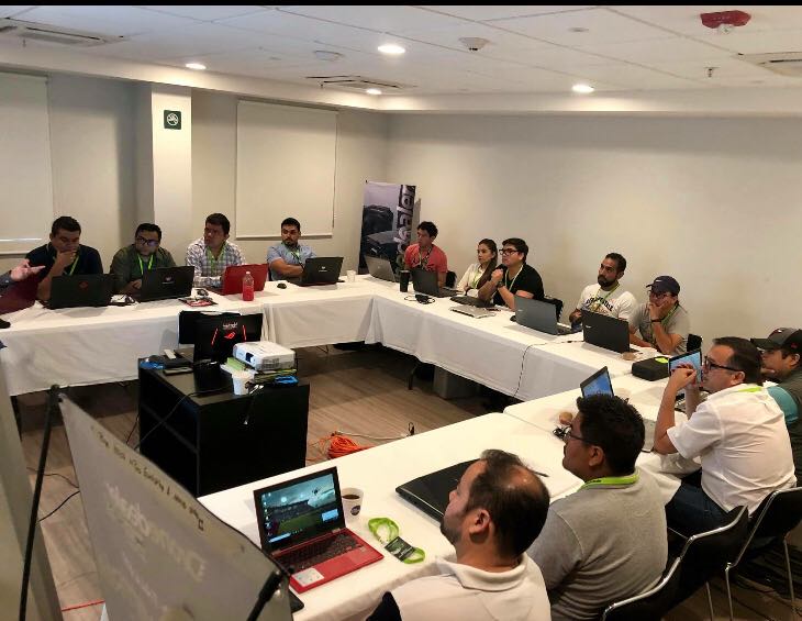
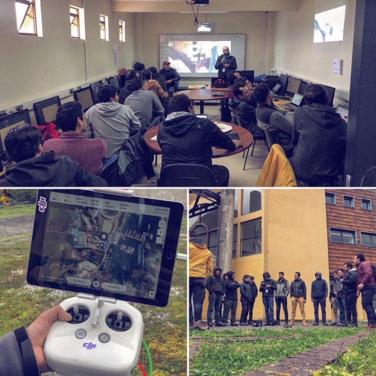
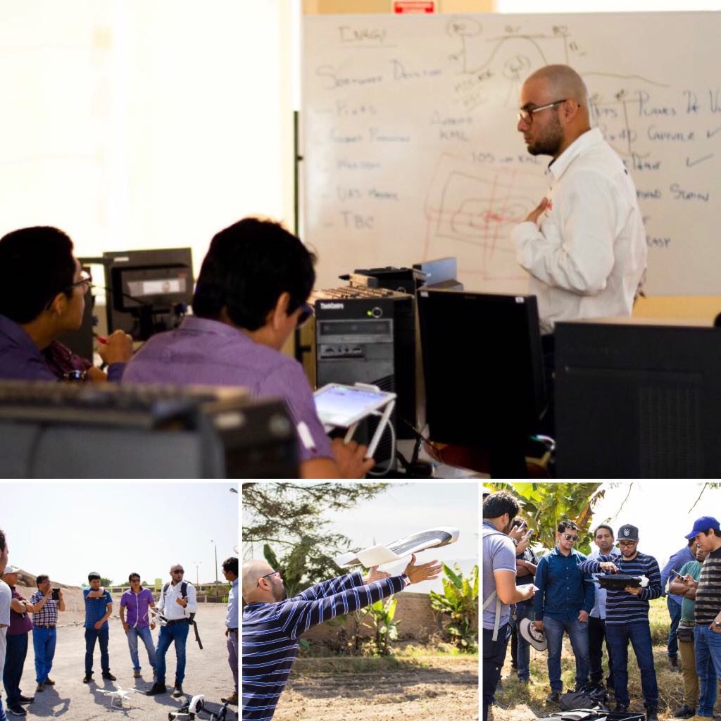
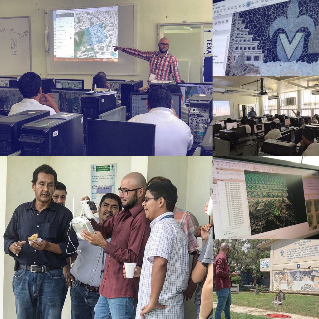
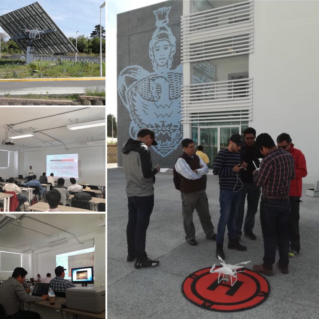
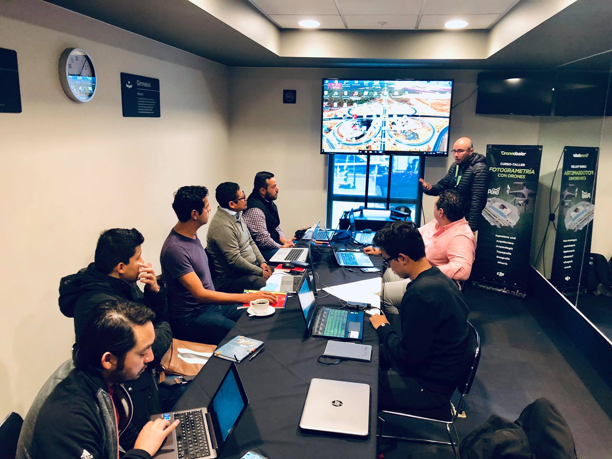
Workshop Overview
Some topics that we cover
We have a select interdisciplinary group of professionals in different areas such as: exact sciences and earth sciences and certified Pix4D instructors.
- Image Processing with Pix4D
- ArcGIS basics
- Photogrammetry with Drones
- Precision Agriculture with Drones
- Flight Operation for Safety and Emergencies
- Flight Operation for Industrial Inspections
- Photogrammetry and GNSS Global Positioning Systems
- Photogrammetry with Drones and GIS
- Professional Edition oriented to Industrial Inspections with Drones