Coatzadrone strives to provide clear-cut Aerial Drone Surveying/Mapping services across Latin America. We’ve work together with Government and Private sector in Land Surveying, Aerial Surveying for Planning & Development, Land Slope monitoring, Stockpile volumetric measurements, Mapping greenfield projects, etc. Coatzadrone prioritizes quality and, thus, perpetually continues to achieve highly accurate topographic maps with Centimeter level Accuracy. Decked with High-end surveying Drones and a crew of skilled licensed Pilots, our clients obtain the deliverables faster, hence promoting more agile decision-making.
Aerial Surveying / Mapping Deliverables
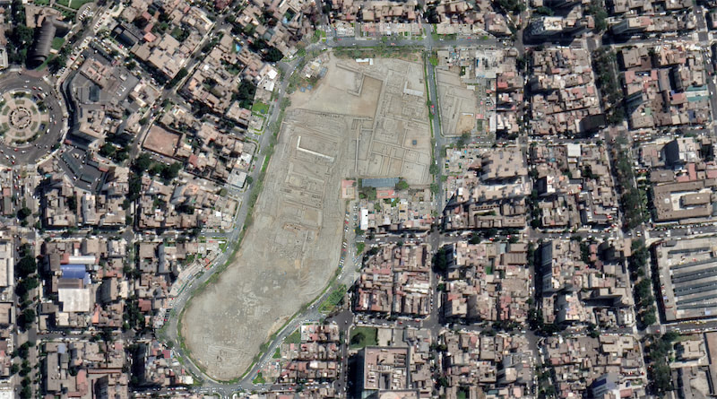
Orthomosaics
Our drones can produce sophisticated 2D maps and 3D digital elevation models that enable you to fill in imaging gaps left by satellite mapping with up-to-date data. Orthomosaic maps are created with a large number of overlapping photos covering a defined area. After capturing precise aerial imagery, we then use software to stitch the photos into georectified orthomosaics.
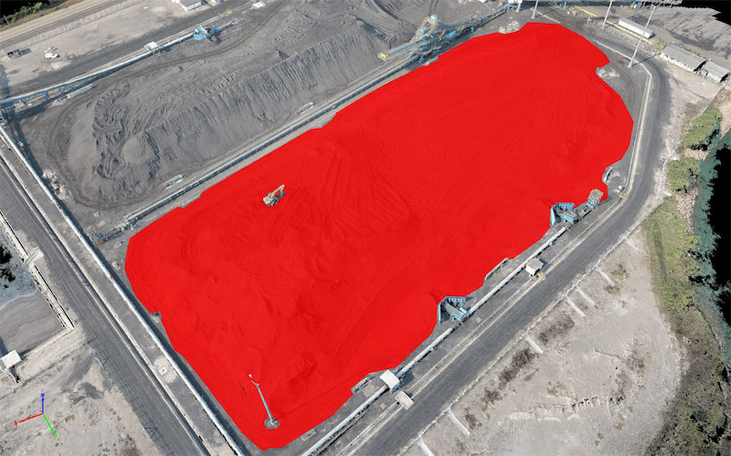
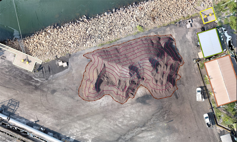
3D Point Cloud
A densified point cloud can be generated from drone images. Each point contains geospatial (X, Y, Z) and color information. It provides a very accurate model for distance (slant and horizontal), area and volume measurements.
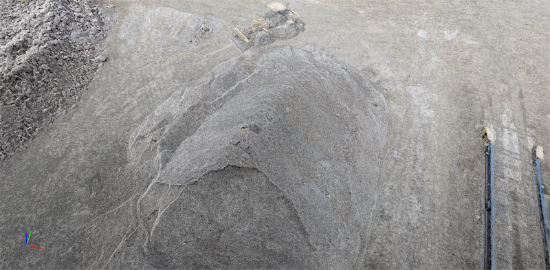
Digital Surface Models (DSM)
Drone images can also be used to create DSM models of the area. Each pixel contains 2D information (X, Y) and the altitude (Z value) of the highest point for this position.
Digital Terrain Model (DTM)
After filtering objects such as buildings, the drone images can be used to create DTMs with each pixel containing 2.5D information (X, Y, and Z value of the highest altitude).
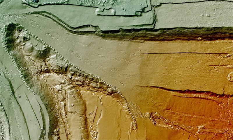
Curves / Contour Maps
Depending on the project requirements, either the DTM or DSM model, with custom contour intervals, can be used to create a contour lines map, giving you a better understanding of the surface of the area shot by the drone.
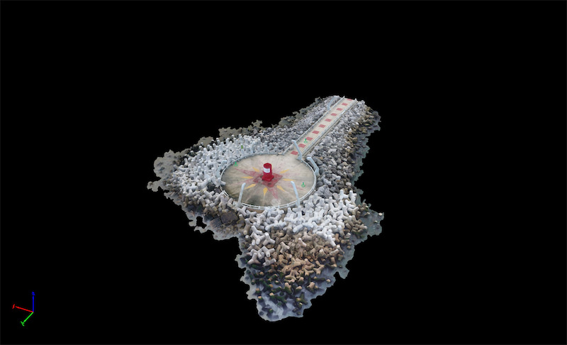
3D Textured Mesh
The 3D textured mesh is a reproduction of the edges, faces, vertices and texture of the area shot by the drone. This model is most useful for visual inspection or for when external stakeholders or public involvement is essential for a project.