Coatzadrone achieves fast and reliable visual data for construction and urban planning projects. Aerial Surveying information enables our clients to improve safety, make changes, and improve project efficiency. We deliver aerial imagery data to assist project managers with real-time construction monitoring. Drones can detect damage and capture data more efficiently compared to traditional methods. Our GIS data processing software and photogrammetry software can reconstruct this data into 2d mosaics and 3d models for in-depth analysis by clients.
Our Deliverables
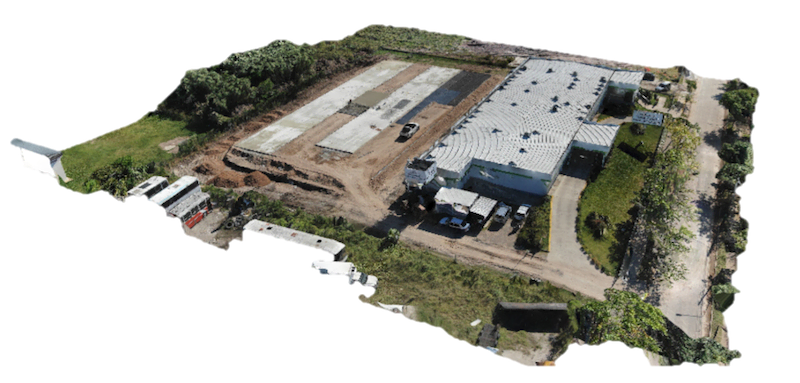
- 2d Orthomosaic
- 3d SURFACE models
- Project monitoring
- Volumetric measurements
- Construction Site Mapping
- Quality check
- Building surveillance
- Elevation models
- Map overlay
- Project video
- Aerial documentation
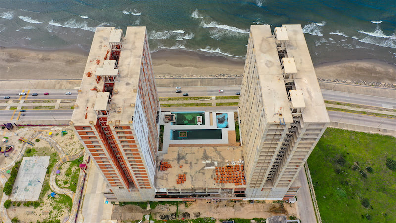
Project Progress Monitoring
Project managers use maps generated from the data acquired by drones for regular monitoring and planning, this avoids delays and added costs. Progress tracking helps our clients orient their projects according to their plan without deviations. UAV-based progress monitoring shows build / deconstruction sequences, crane locations, perimeter security, etc.
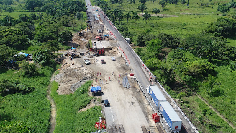
Construction Site Mapping
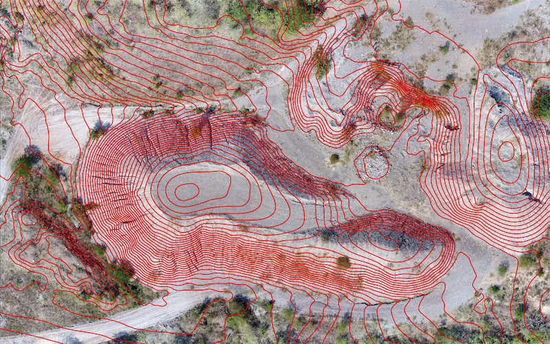
Drone mapping has become simpler, cheaper, and results in less intensive civil engineering work than older methods. Drones can now access any area comfortably through topographic surveys to render accurate visual representations of evacuations, stock measurements, and transportation costs. We use Pix 4D software for real-time computer information mapping.
Volumetric Measurement
We provide project managers with on-site tracking of raw materials used during construction to increase efficiency and promote less wasted inventory. By incorporating cutting-edge technology such as machine learning, we can achieve 99% accuracy in estimating stock volume. Working with us, volumetric measurement is fast, accurate, and cost-effective. Measurements are accurate, with 1-2% of traditional measurements on the ground.
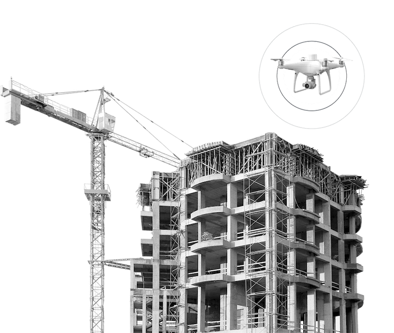
Buildings Surveillance
Building inspections can be a dangerous and challenging task for humans to carry out independently. UAV building surveillance helps reduce risks associated with personnel safety and improves productivity by recording extensive and critical data. Drone surveillance or aerial surveillance help identify potentially dangerous situations more quickly to improve decision making. Drones equipped with thermal sensors are popular with building surveillance projects to assess roofs for flaws without having to go there.
BIM Modeling
BIM modeling has become an indispensable element in the construction and building sector, both in civil works and public spaces.
The use of technologies such as the point cloud, which allows digitizing the existing, 3D or BIM modeling (through the point cloud or from a plan), visual or thermographic inspection and topographic surveys allow the construction sector to work more efficiently and quickly.
BIM modeling, for example, allows us to reduce costs in the execution of works as we avoid interference problems by having accurate and updated data. By having a 3D model with all the information we can see in advance and accurately where the problems exist.