Portfolio

Geo-Spatial & Aerial
Precision Solutions

We are experienced operators, providing seamless integration of Drone Technology and Aerial Precision Solutions in Mexico and Latin America.

Explore what we do
Scroll down to explore

Drone Solutions for every Challenge

Our services allows companies and industries to make mindful decisions more cost-effectively and efficiently regarding significant assets.

Surveying / Mapping

We extend services such as GIS, Land survey, LIDAR, contours, and Urban Planning with 99% accurate Volumetric analysis and measurement.

Read More

Aerial Inspection & Analysis

Our Visual and thermal-based inspections services work to detect, track, and analyze any damage caused to the assets.

Read More

3D LiDAR Mapping

We use LiDAR and other remote sensing methods to acquire high accuracy spatial data using latest geospatial technology.

Read More

Workshops

We can training teams, companies and universities in drone operation and aerial mapping and modeling for industrial or commercial sector.

Read More
1

We’re about quality and trust

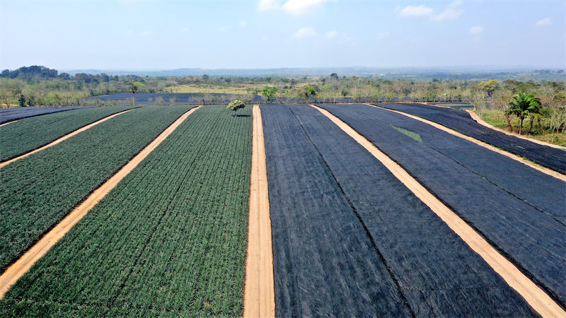
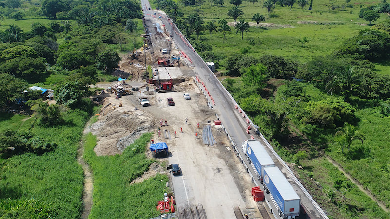
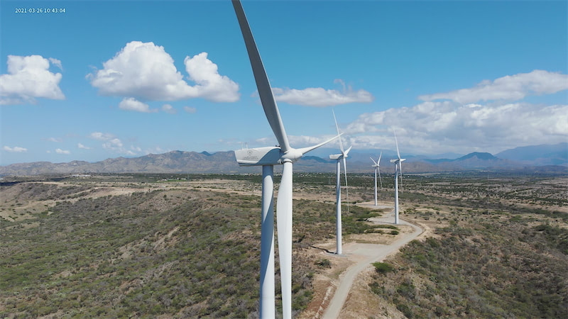
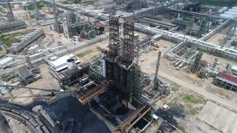
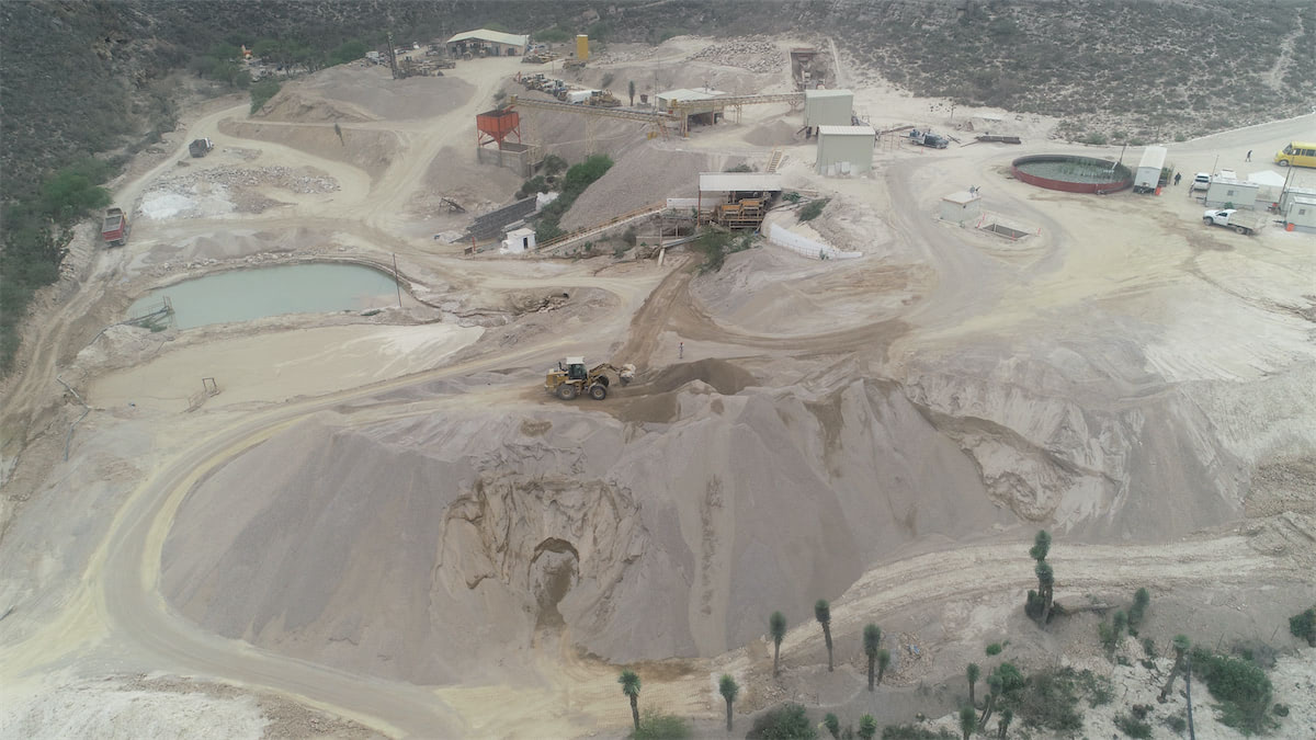
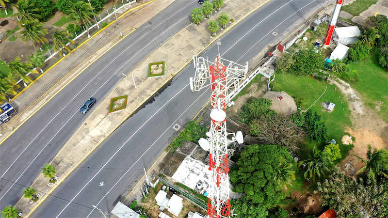
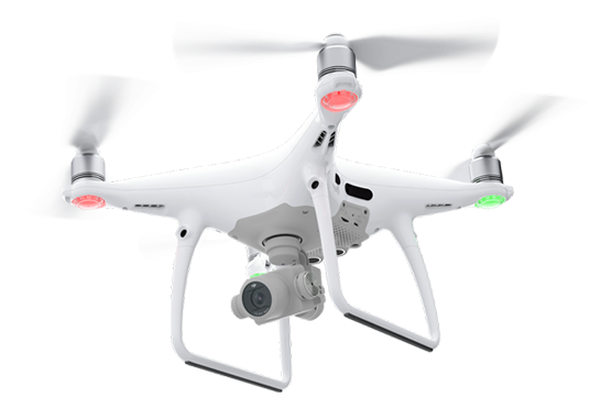
Coatzadrone is a company that deliver aerial data collection solutions for industries and public sector entities. We’ve had several success stories across Mexico and Latin America along +6 years of professional experience.

More About Us

Our Services by Industry

Coatzadrone offers drone solutions for every challenge in every industry.

  • Coatzadrone-clientes-pemex
  • Coatzadrone-clientes-braskem
  • Coatzadrone-clientes-tuev
  • Coatzadrone-clientes-sct
  • Coatzadrone-clientes-sensehawk
  • 4
  • Coatzadrone-clientes-sitemark

Recent Posts

We talk about from Drone Technology to Technical Resources.

Inspección de Parques Eólicos con Drones : Caso República Dominicana

Application of Drone Technology in Crop Fertilization

Road Construction and Monitoring Using Drones